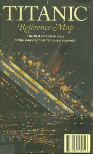
TITANIC
Reference Map
Hedberg Maps, Inc. - 1998
TITANIC
Reference Map
Hedberg Maps, Inc. - 1998 |
|
The whole world knows that the giant ocean liner Titanic struck an iceberg, and sank to the bottom of the Adantic on April 15, 1912. But where exactly did she sink? Could another ship really have reached her in time? Could better maps have prevented the disaster? Where lies the wreck on the ocean floor?
Time has raised even more questions. Where is ice most dangerous? How can shipping lanes be made safer? Where did the passengers and crew come from, and where are they remembered in memorials and museums? How was the wreck found in 1985?
The Titanic Reference Map gives the details. This double-sided, full-color infographie (39" x 26") shows:
Map Side: the fateful route of 1912 and shipping lanes before and after the disaster; the journey of The Iceberg; charts and statistics from the officiai hearings; an inset locating ice and rescue ships; deep-ocean diagrams of the wreck site and the search process; sites of Titanic memorials, exhibits and points of interest.
Ship Side: color-coded deck plans, cutaway view and escape routes of the leviathan liner; portraits of noted passengers and crew lost and saved; Titanic's size compared to the world's largest objects; the debate over her future; books, music and movies about the ship; a full bibliography and a website with recommended Internet links.
| Debut de la page |